Alexander Kaltenbrunn
- PhD student
- Room: 034
- Phone: +49 721 608-45687
- alexander kaltenbrunn ∂does-not-exist.kit edu
Hydrogeological investigations in the Brilon Mass Limestone karst aquifer
- Contact:
Nico Goldscheider, Nadine Göppert, Alexander Kaltenbrunn
- Startdate:
2020
- Enddate:
2023
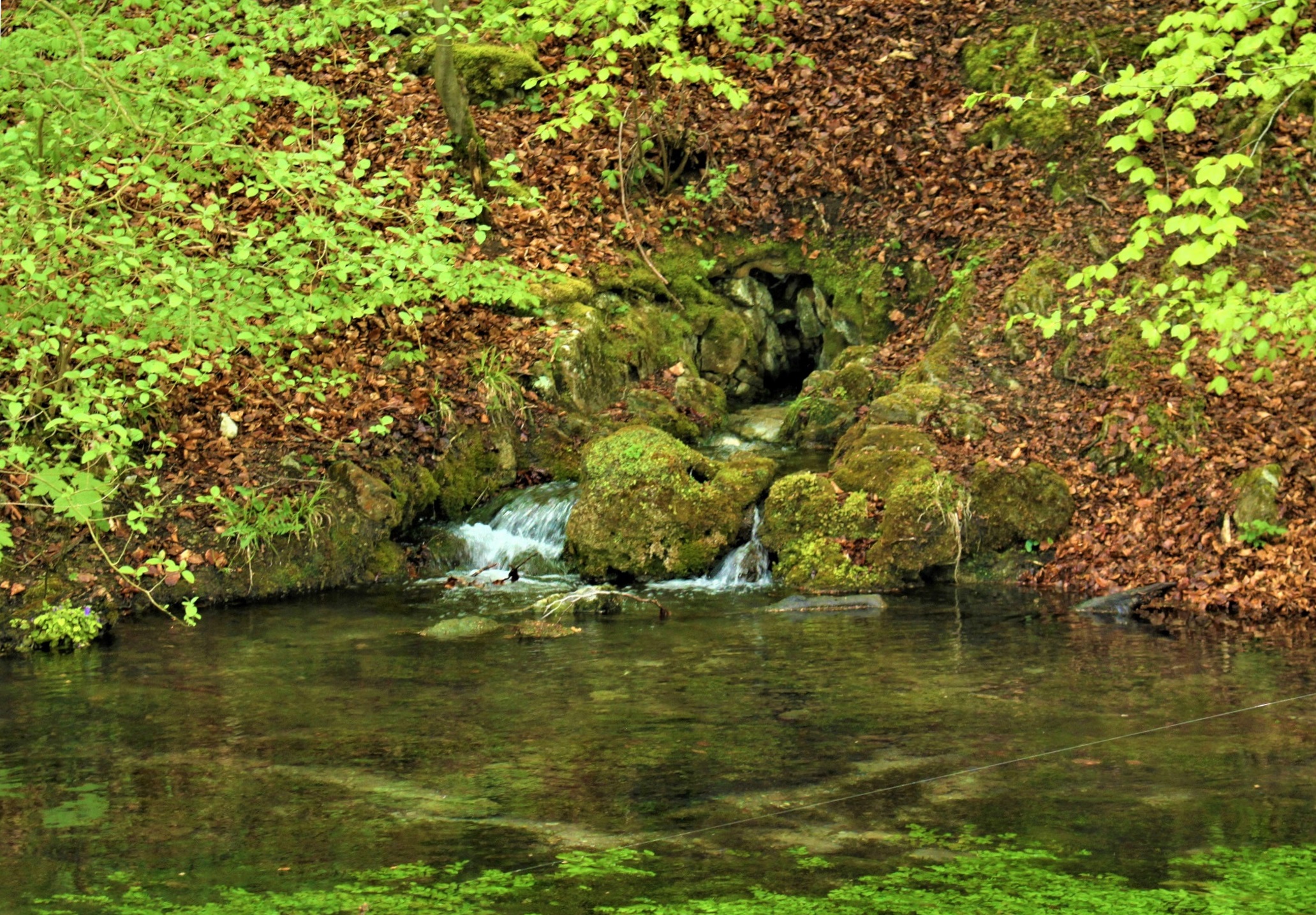
The drinking water supply of the town of Brilon (Hochsauerland district, North Rhine-Westphalia) is largely ensured by the groundwater of the Brilon Mass Limestone karst aquifer. The Brilon karst aquifer is built up by Devonian mass limestones with a thickness of up to 1000 meters. Most of the karst groundwater drains via the Alme and Moosspring springs on the northern edge of the aquifer, where the mass limestone borders on the hydraulically impermeable clay shales of the Carboniferous. The Alme spring pond consists of more than 100 individual springs, most of which lie below the water level in the dammed pond. Together, the Alme and Moossping springs have an average flow rate of 832 L/s. The hydrogeological catchment area covers a total of around 100 km2. The Brilon plateau is characterized by typical karstic phenomena such as stream beds, sinkholes, dry valleys and limestone hilltops.
As the limestone is characterized by a high degree of purity, the Brilon mass limestone is extensively extracted as a raw material by various quarry companies.

Single spring no. 104 at the Almequellteich pond
Despite a long history of research, the hydrogeological conditions are still poorly understood. In order to ensure the long-term supply of drinking water from the Karst aquifer against the background of current problems such as climate change with exceptionally low precipitation summers, comprehensive hydrogeological investigations are planned. As part of the project, the hydrogeology department of the Institute for Applied Geosciences will carry out various investigations in cooperation with the Brilon municipal utilities. In addition to hydrochemical and microbiological investigations of the groundwater and surface water, these include marking tests and storage modeling of the karst groundwater reservoir. In addition, vulnerability mapping will be used to illustrate the various hazard potentials. The overall aim of the project is to gain a deeper hydrogeological understanding of the Brilon karst aquifer.

Moosspring spring area on the northern edge of the Brilon plateau

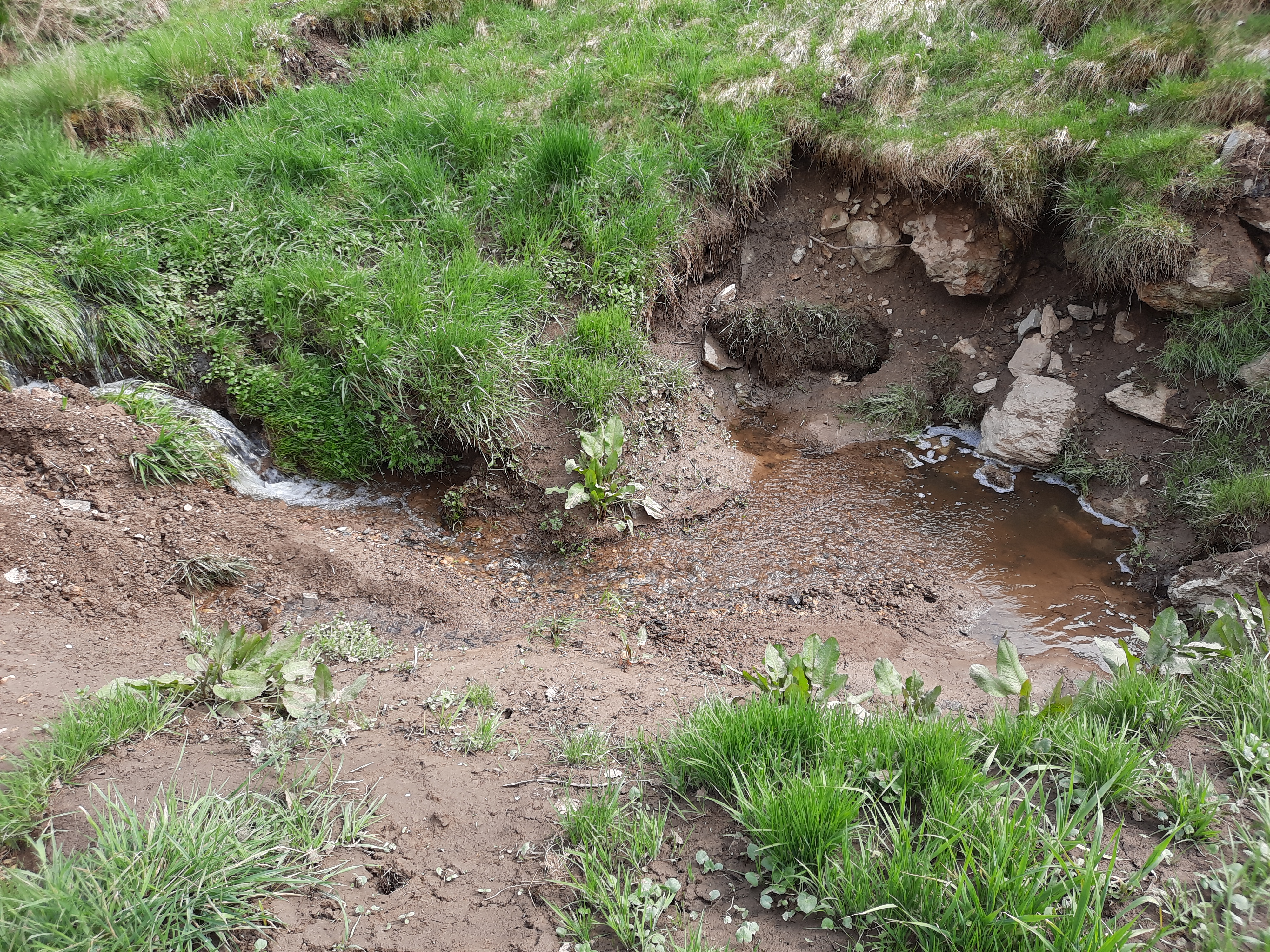
Wolfsknapp-Bachschwinde on the eastern edge of the Brilon plateau
