Hydrogeological characterisation of the catchment area of the drinking water wells of the Zweckverband Landeswasserversorgung
- Contact:
Prof. Dr. Nico Goldscheider
Dr. Nadine Göppert
M.Sc. Nikolai Fahrmeier - Funding:
Zweckverband Landeswasserversorgung
- Startdate:
2017
- Enddate:
2019
Project description
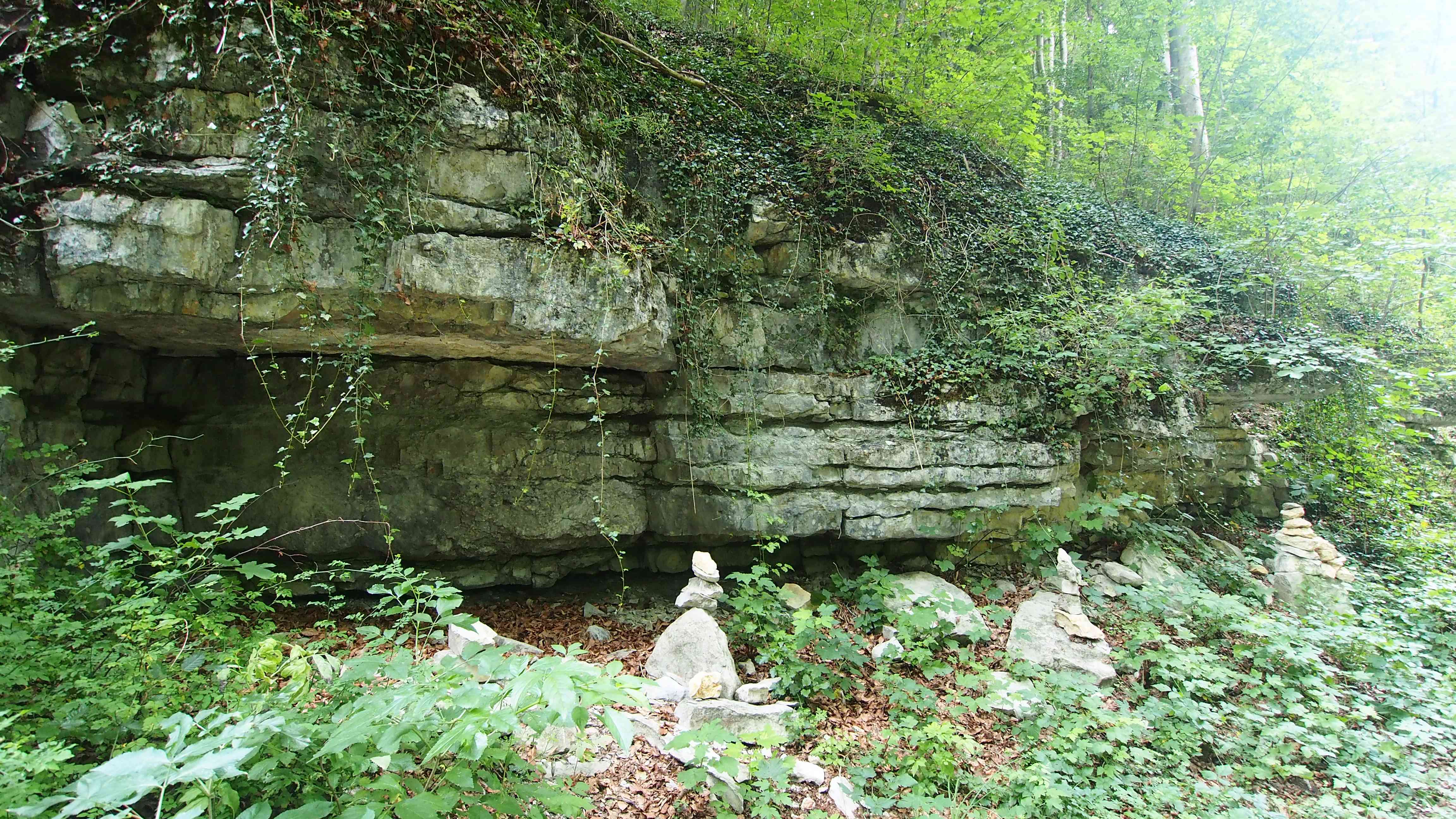
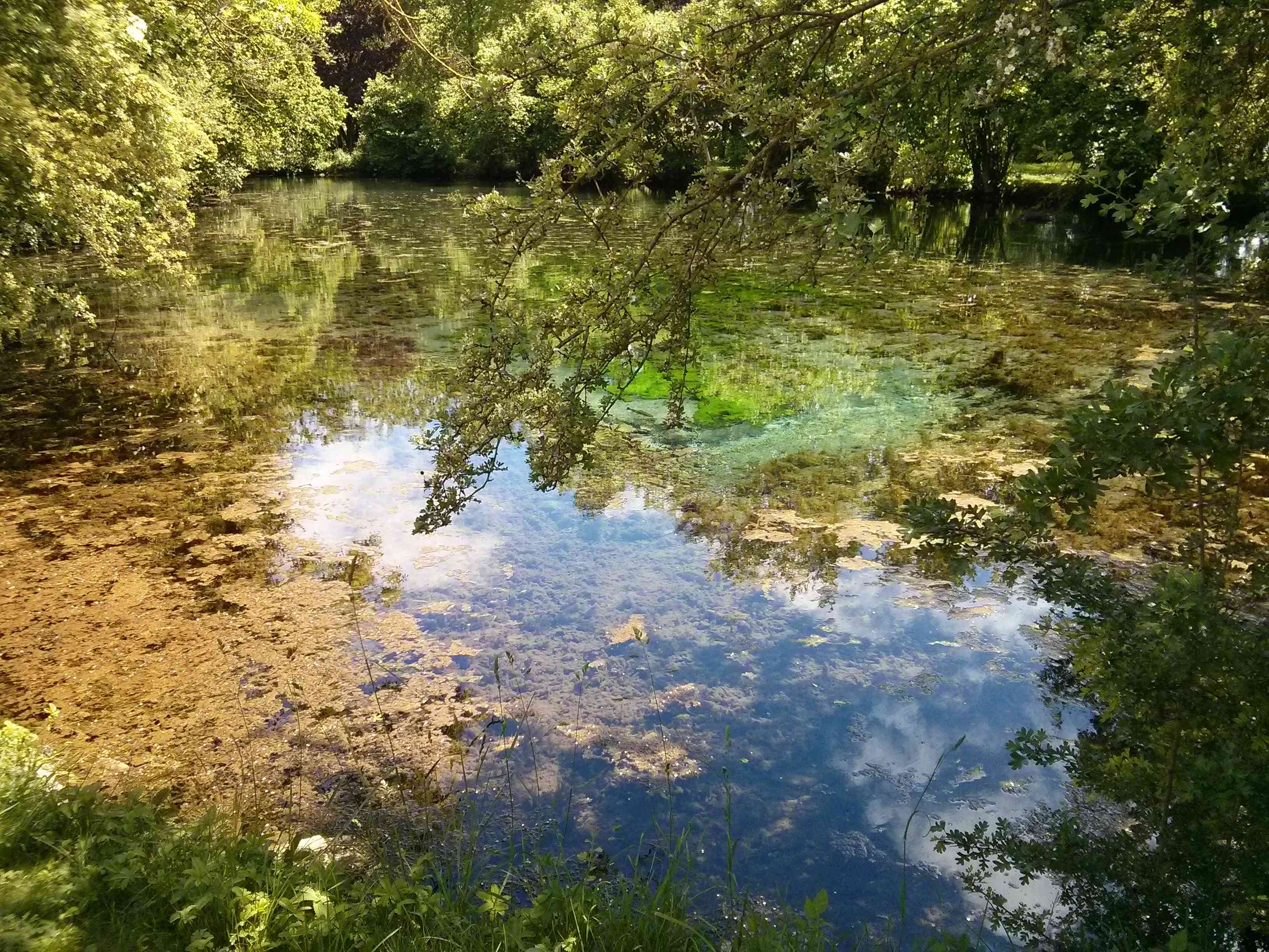
In Southern Germany, about 3 million people are supplied with drinking water by the Zweckverband Landeswasserversorgung. The water required for this purpose is taken from the Danube, the Buchbrunnen spring near Dischingen and from the gravel aquifer in Donauried. In order to protect the water quality, one of the largest water protection areas in Germany (> 500 km²) has been defined for the production wells in Donauried, which extends over a large area of the eastern Swabian Alb.
For a better characterisation of the catchment area, several combined marking experiments with inputs into stream shrinkage, dolines and groundwater monitoring sites are carried out within the scope of this project. This will be used to delimit the sub-catchment areas of the individual catchment series, determine the flow velocities and paths, and identify problem areas with regard to the sometimes high nitrate pollution. In particular, it is important to characterise the water transfer from the Jurassic karst aquifer to the Quaternary gravel aquifer in the Donauried.